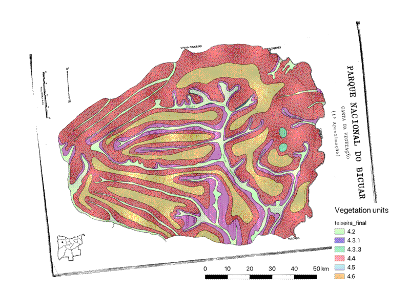
In a previous post I mentioned that I had been given a copy of J. B. Teixeira’s 1968 vegetation map of Bicuar National Park.
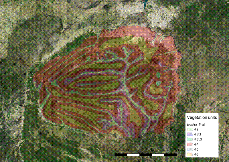
I just finished geo-referencing and vectorising the map, so I’ve uploaded it here in case anybody wants to use it.
The geo-referencing process was difficult, and the result isn’t perfect. The only clear reference points on the map that are comparable with modern maps are the Cunene river and the locations of the towns of Mulondo and Folgares (now Capelongo). The river appears to have changed its course slightly since 1968, which is plausible, as has the centre of the town of Folgares, where new building has shifted away from the original colonial centre. The outline of the Park is different now, having been redrawn in 2012, notably reducing the size of the Park from the northern boundary. The locations of the mulolas (seasonally flooded grassy valley bottoms) are largely the same, and can be lined up with true colour satellite imagery.
I used QGIS for all of the digitising process, drawing polygons by hand. I then spent some time fiddling to adjust some polygons with holes. I learned a lot about the “snapping” functionality in QGIS, to avoid adjacent polygons with tiny gaps between them.
I used mapshaper
to clean up the polygons further, using the clean command in the console. This command repairs various abnormal geometries, e.g. overlaps, small gaps, self-intersections, and orphaned nodes. Then I took the shapefile back into QGIS for a few minor manual adjustments.
I labelled the polygons according to the legend in the original report .

